Burrard Peninsula Area Transport Plan
About the Plan
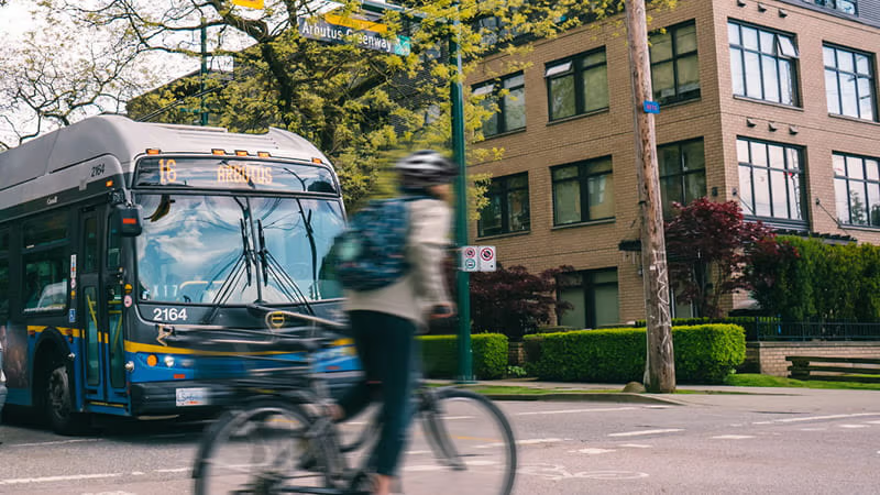
Completed in early 2026, the Burrard Peninsula Area Transport Plan (BP ATP) is TransLink’s long-term vision for how transportation will evolve over the next 15 years in Burnaby, New Westminster, Vancouver, UBC, and the University Endowment Lands.
Developed with input from the public, First Nations, and key interest holders, the plan reflects community priorities and local needs. It identifies recommended actions related to bus service, cycling, walking, and goods movement, with a focus on improving access, safety, reliability, comfort, and convenience.
The study area also includes the traditional and unceded territories of several Indigenous Nations including kʷikʷəƛ̓əm (Kwikwetlem First Nation), q̓ʷɑ:n̓ƛ̓ən̓ (Kwantlen First Nation), xʷməθkʷəy̓əm (Musqueam), Sḵwx̱wú7mesh Úxwumixw (Squamish Nation), səlilwətaɬ (Tsleil-Waututh Nation), and qiqéyt (Qayqayt First Nation).
Read the Burrard Peninsula Area Transport PlanProcess
The BP ATP was developed through a comprehensive planning process that included analyzing issues and opportunities, assessing community values, and identifying and prioritizing strategies and actions. A key part of this process was engagement with a range of partners and interest holders over two phases, including:
Local, regional, and provincial governments,
First Nations communities,
People who are often under-represented in transportation planning processes such as older adults, youth, persons with living disabilities, people with lower incomes, racialized communities, and urban Indigenous communities, and
The public.
Phase 1 involved analyzing how people in the Burrard Peninsula use the transportation network and how that usage might change in the future as the area continues to grow. TransLink also asked people who travel within the study area what’s working and what could be improved to make transit and active transportation more convenient.
Phase 2 made recommendations on how to make the most of the opportunities identified in the first phase of the BP ATP. These recommendations were shared with the public for input and then refined based on the feedback gathered.
Progress
The BP ATP sets out the priorities TransLink will monitor as implementation moves forward, with ongoing collaboration with local, regional, and provincial government partners to track progress on delivering the plan’s recommendations.
TransLink will work to implement ATP recommendations, along with other regional priorities in Metro Vancouver, as resources become available. Recommendations will be delivered over time through quarterly service changes, local government funding allocations, and future Investment Plans for larger or more complex projects. Some actions may be implemented together, while others will be introduced as funding and timing allow.
We'll continue to provide more information on how we're progressing to meet the goals, objectives, and recommendations of the BP ATP as we move forward.