Burrard Peninsula Area Transport Plan
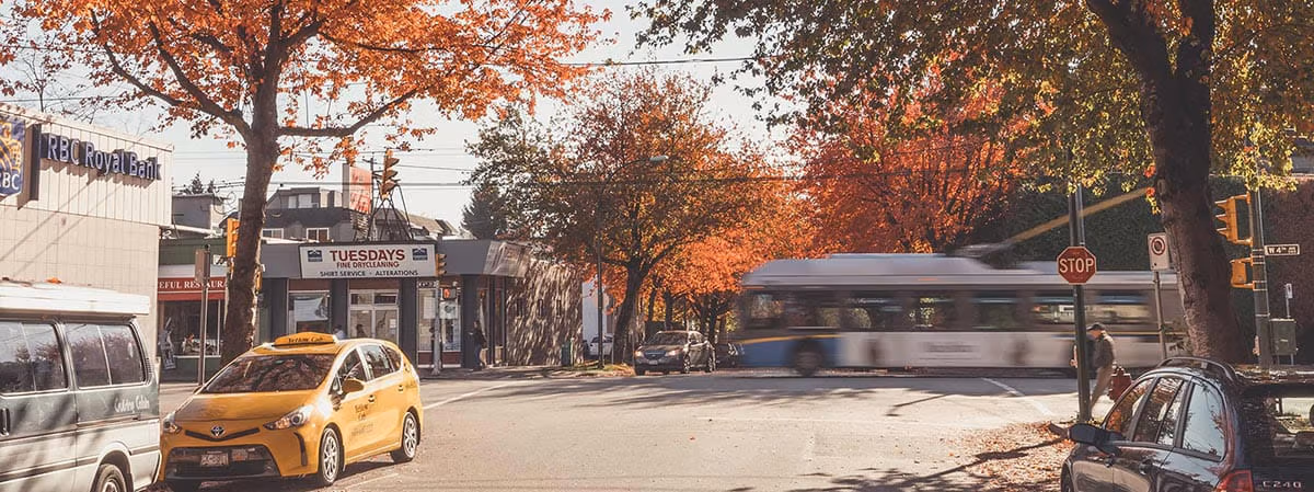
The Burrard Peninsula Area Transport Plan outlines a long-term transportation vision for Burnaby, New Westminster, Vancouver, UBC, and the University Endowment Lands.
Metro Vancouver is a large region comprised of 23 diverse communities and municipalities. To ensure local context and needs are understood and reflected in transportation planning, TransLink divides Metro Vancouver into sub-regions.
TransLink works closely with municipal governments, stakeholders, and the public to develop local and sub-regional plans for enhancing transit service and infrastructure, while also addressing aspects of cycling, walking, driving, and goods movement.
Area Transport Plans support and inform key planning processes like TransLink’s Regional Transportation Strategy and the Mayors’ Council 10-Year Vision, which establish the region’s long-term transportation vision, overall goals, targets, policy direction, and investment priorities.
The Burrard Peninsula Area Transport Plan outlines a long-term transportation vision for Burnaby, New Westminster, Vancouver, UBC, and the University Endowment Lands.
Phase 1 of the South of Fraser East Area Transport Plan planning process is currently underway.
The Maple Ridge–Pitt Meadows Area Transport Plan focuses on improving transit and regional roadways.
Long-term vision for transit in North Vancouver, West Vancouver, Village of Lions Bay, Bowen Island, Squamish Nation, Tsleil-Waututh Nation.
The Northeast Sector Area Transit Plan identifies a long-term vision for service and infrastructure for Coquitlam, Port Coquitlam, Port Moody, Anmore, and Belcarra.
Southwest Area Transport Plan is a review of the transportation network in Richmond, South Delta, and the Tsawwassen First Nation.
The South of Fraser Area Transit Plan (ATP) outlines a long-term transit vision for municipalities of Surrey, Delta, City and Township of Langley, and White Rock.
Join the panel and help us improve transportation for the region. Registration is quick and easy.
Want to stay up-to-date on Area Transport Plans and other plans and projects? Sign up for TransLink eNewsletters.
Metro Vancouver's transportation network, serving residents and visitors with public transit, major roads, bridges and Trip Planning.
TransLink acknowledges we operate on the unceded territories of the First Nations, guardians of this land for countless generations.
As we connect communities throughout the region, TransLink is committed to honouring these long-time caretakers of the territory.
Subscribe to stay current on TransLink projects, service changes, events, promotions and more! You may unsubscribe at any time.
There are no upcoming events
Thank you for your feedback!